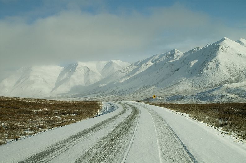
The Brooks Range

The Brooks Range in northern Alaska is the northernmost section of the Rocky Mountains and the highest mountain range in the Arctic Circle. This range (named for USGS geologist Alfred Hulse Brooks) runs east to west across the state about 200 miles south of the Arctic Ocean.
Mount Chamberlin at 9,020 ft (2,749 m.), is the highest peak in the range. Some other high peaks are Mount Isto at 8,975 ft (2,735 m.) and Mount Michelson at 8,855 ft (2,699 m.). The range is 700 miles long, reaching from the Yukon border to the Chukchi Sea on Alaska's west coast, and is between 80 and 110 miles wide. This great length divides two major climatic zones, the Alaskan interior and the cold North Slope.
The range is full of spectacular scenery, including beautiful rivers, lakes and meadows. Most of the area is accessible only by air. The Dalton Highway is the only road access into the area, and only a small part of the range is actually within hiking distance of the road.
Return from the Brooks Range to Mountain Ranges


